01 · Detect & monitor
What now
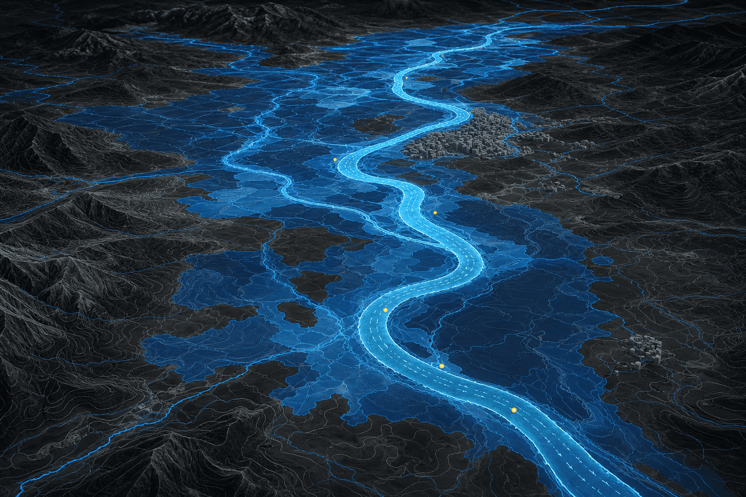
A live replica of the river and the city — stage, flow, quality, rainfall, and infrastructure — updated as satellite, weather, and in-situ streams arrive.
National Champion · Jal Shakti Hackathon 2025
See the system as it is. Forecast what comes next. Test a decision before you make it.
Aurixys fuses satellite imagery, terrain, weather, and in-river measurements — including ADCP current profiles from autonomous vessels — into one hydro-ontology. That model is the operating surface for flood forecasting, river management, and urban water planning.
What we have achieved
Platform
GIS shows a map. A digital twin is a living model: it watches the present, projects the near future, and lets you rehearse a response — on the same semantic fabric.
A live replica of the river and the city — stage, flow, quality, rainfall, and infrastructure — updated as satellite, weather, and in-situ streams arrive.
Hydrology and hydraulics, constrained by physics and corrected by ADCP and gauge observations, so operators can see inundation timing and extent before they happen.
Test a gate, a pumping plan, or an extreme monsoon against the same twin. Decisions are scored against a model that already knows the system.
Geospatial intelligence core
The hydro-ontology is the semantic framework inside Aurixys Twin. It standardises rivers, terrain cells, vessels, sensors, storms, and city assets — and the relationships between them — so satellite passes, ADCP profiles, gauges, and models can reason over one world. That is what makes integration, scientific forecast, and basin-to-city analytics possible at operational scale.
Data lands continuously. Models stay coupled to physics. Operators receive analytics, scenario runs, and alerts — not a folder of disconnected layers. How the ontology is structured →
Offerings
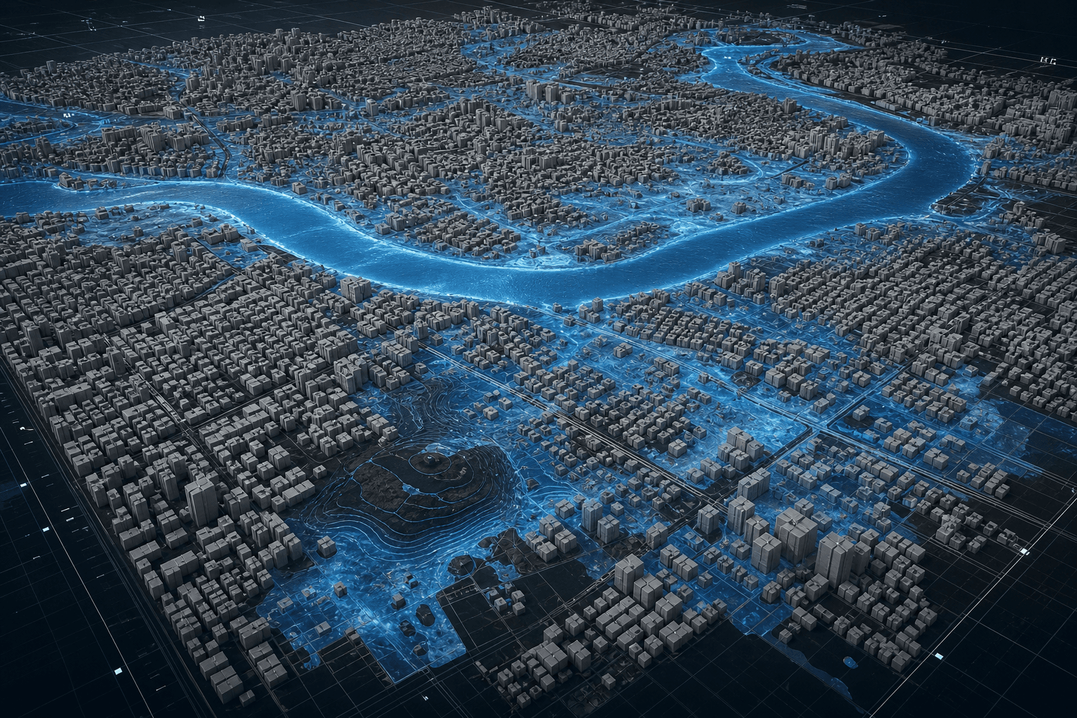
The same twin, resolved to the decision in front of you — a monsoon forecast on a river, an inundation map on a city, or a current profile taken from the water itself.
From field to forecast
Every basin cell, every urban catchment, every satellite pass and ADCP ping is aligned, stored, and reasoned over as a living graph — then simulated forward under physics-informed models. The twin is not a dashboard on top of files. It is an always-on pipeline that scales with the water system it represents.
Ingest every stream the basin actually produces — continuously, not as a one-off GIS project.
Align projection, time, and identity so a river reach, a drain, and a sensor refer to the same world.
The hydro-ontology is the semantic graph of the twin — rivers, cells, vessels, storms, and cities as typed relationships, not disconnected files.
Physics-informed models run forward on the fused state — rainfall to runoff to inundation — and stay honest against live measurements.
The twin is an operations surface: dashboards, scenario runs, and alerts that fire when thresholds or forecasts demand a response.
Field sensing
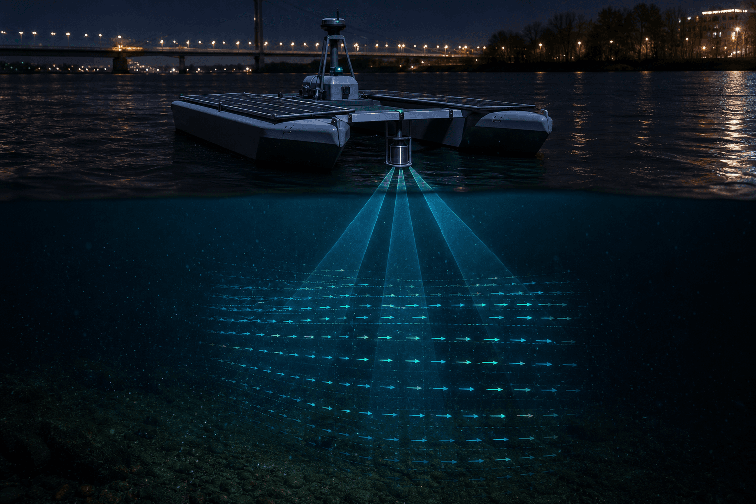
Satellites see the surface. Models guess the column. Jal Prahari closes that gap: a solar-hybrid autonomous surface vessel that dips a water-quality cage below the film and profiles current with ADCP — acoustic beams that read velocity through the depth of the channel.
Those observations bind to ontology entities in the twin. Discharge, flood routing, and water-quality forecast stay honest because they are corrected by the river itself. Field-run on the Godavari and the Ganga.
Jal Prahari field systemsContact
For basin operators, city agencies, and partners who need a living model of water — not another static map.