Flood forecast
Simulate onset, inundation extent, and downstream impact before the peak arrives — basin to floodplain, with confidence bounds.
Predict floods before they happen. Operate the basin with a living model.
Aurixys Twin combines satellite data, terrain, hydrological models, and real-time inputs — including ADCP velocity profiles from autonomous vessels — to simulate how water moves through a catchment, a city riverfront, and the infrastructure in between.
Request a briefing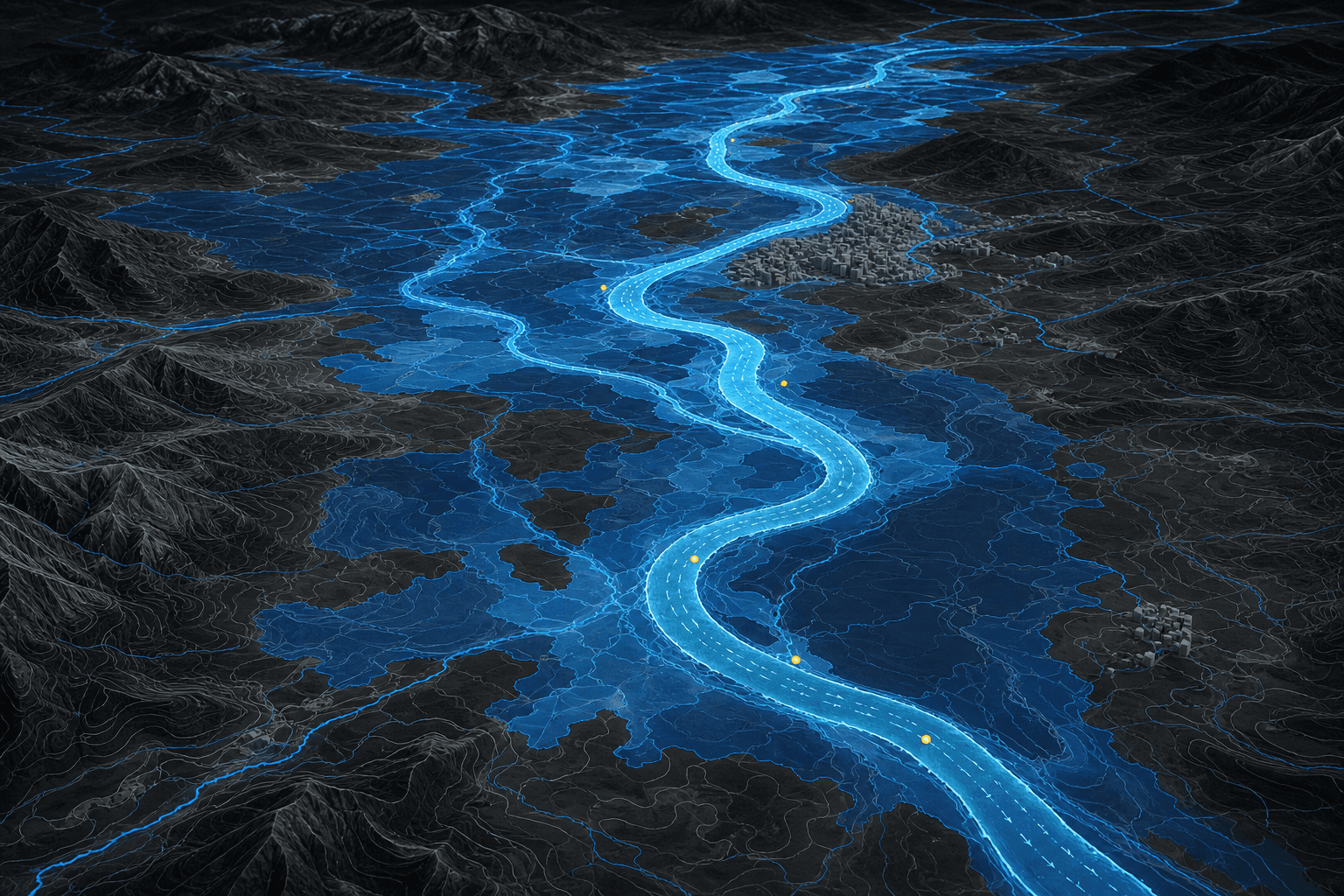
Simulate onset, inundation extent, and downstream impact before the peak arrives — basin to floodplain, with confidence bounds.
Stage, discharge, and velocity as a continuous state, not a daily spreadsheet. See how a release or a closure propagates.
In-situ chemistry from autonomous vessels, bound to the same entities as flow, so contamination and flood are not two separate worlds.
ADCP current profiles and gauges correct the hydraulics. Satellite and rainfall force the hydrology. The ontology keeps them talking.
Contact
For basin operators, city agencies, and partners who need a living model of water — not another static map.