Urban inundation
Forecast rainfall and river stage overlaid on the built environment — where water goes, which blocks flood, and when.
Urban flood intelligence on a living city model.
The same ontology that describes a river reach also describes drains, catchments, and critical sites. Overlay forecast rainfall and river stage on the city. Plan pumping, closures, and movement against a twin that updates as data arrives.
Request a briefing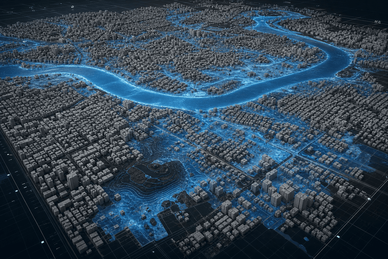
Forecast rainfall and river stage overlaid on the built environment — where water goes, which blocks flood, and when.
Catchments, drains, pumps, and outfalls as ontology entities, not isolated CAD. Stress the network before the storm does.
Hospitals, plants, ghats, and corridors resolved to asset level, with alerts when a forecast crosses a threshold.
Cities sit on rivers. The twin does not pretend otherwise. Upstream basin state is the boundary condition for the street.
Contact
For basin operators, city agencies, and partners who need a living model of water — not another static map.